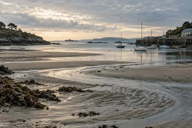
Coastal Knowledge
The Forecast Area Matters as Much as the Forecast Number
Check the geographic coverage of a marine forecast before comparing numbers, and make a clear note when a named area remains unfamiliar.

Explore the almanac
Check the geographic coverage of a marine forecast before comparing numbers, and make a clear note when a named area remains unfamiliar.
Separate issue time from the period a marine forecast covers, and keep date and time-zone labels attached to the information you save.
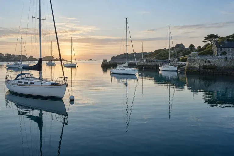
Understand a points-of-sail diagram by following the wind arrow, then test the labels with a simple paper exercise before your next lesson.
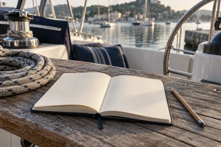
Make unfamiliar sailing vocabulary easier to remember with short definitions, contrasts and examples connected to what you read or observe.
Write sailing photo captions that preserve place, moment and context without guessing at vessel types, manoeuvres or weather conditions.
Turn a harbour view into a useful sketch with three shapes, a few labels and a clear distinction between observation and navigation.
A tide table starts with its labels: station, date, time zone, units and vertical reference. Learn why each belongs beside the numbers.
Learn how nautical miles and knots differ, work through a simple distance example, and keep units clear when reading about sailing.