
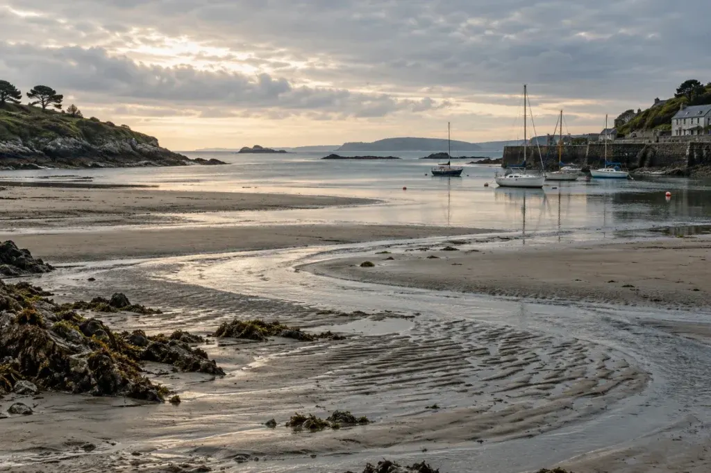
A familiar town name can make a forecast feel local even when the product covers a much larger stretch of water. Before comparing wind or visibility, establish the area each forecast is actually describing.
Find the publisher’s map
Marine forecast products divide the coast and sea in different ways. The Met Office guide, for example, distinguishes shipping forecast areas from inshore waters areas. Their labels are not interchangeable.
Open the area map or geographic description supplied with the product. In a reading notebook, record the area name exactly and retain the link. Do not replace it with “near our harbour” unless you have checked what that means.
Compare like with like
For a practice exercise, put two saved forecasts side by side. Before examining the numbers, compare their area, covered period and units. A difference in wording may reflect different coverage rather than disagreement about the same place.
Write one sentence: “These forecasts cover different areas, so this is not a direct comparison.” That modest conclusion is more useful than choosing whichever number feels reassuring.
A broad forecast is only part of real passage planning; this article supplies no local assessment. If the boundary remains unclear, consult the publisher’s guidance and competent local advice. Keep the map reference alongside the forecast’s issue and validity times.